Southern Ut. Cross Country Trip 2002
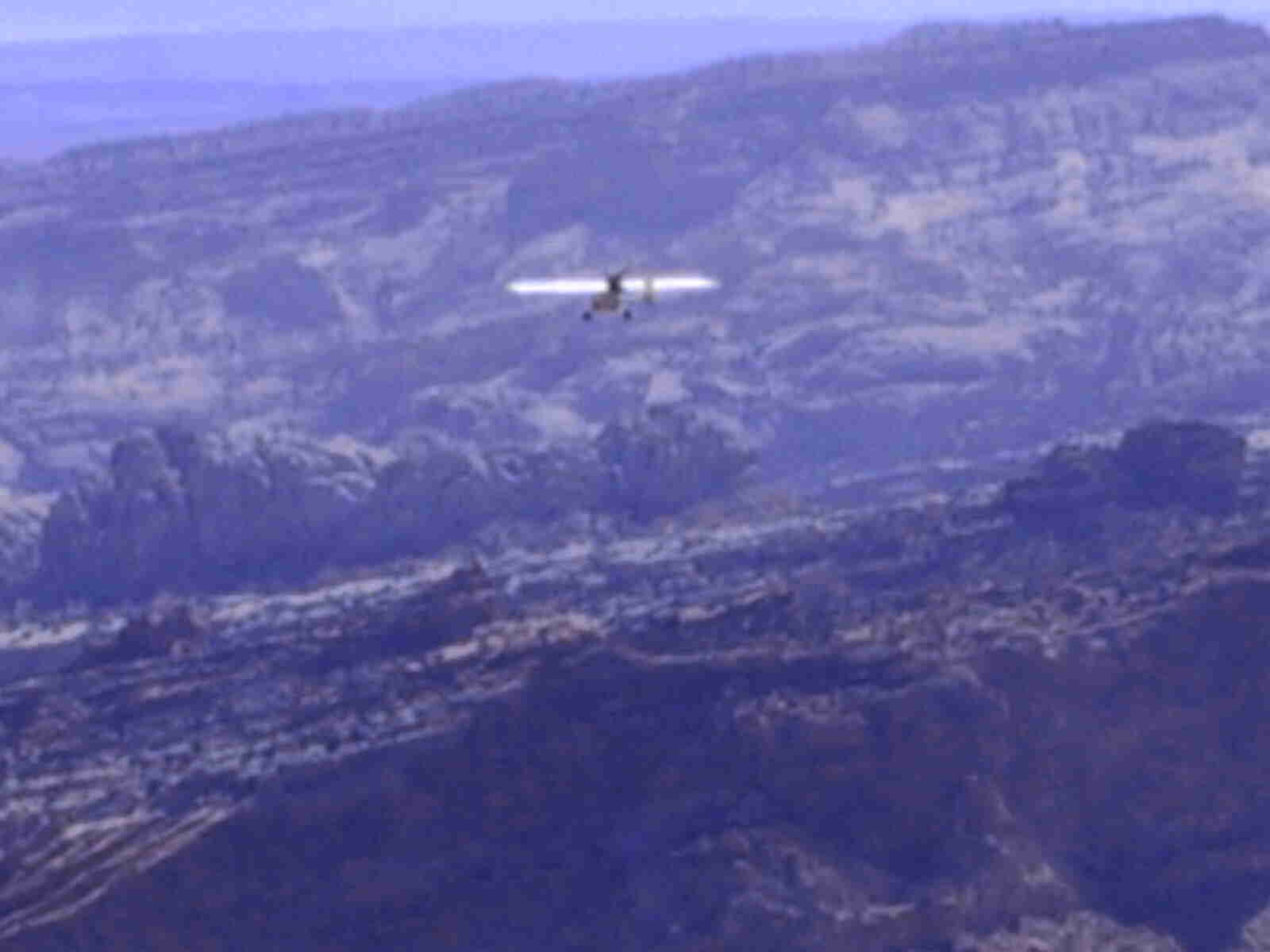
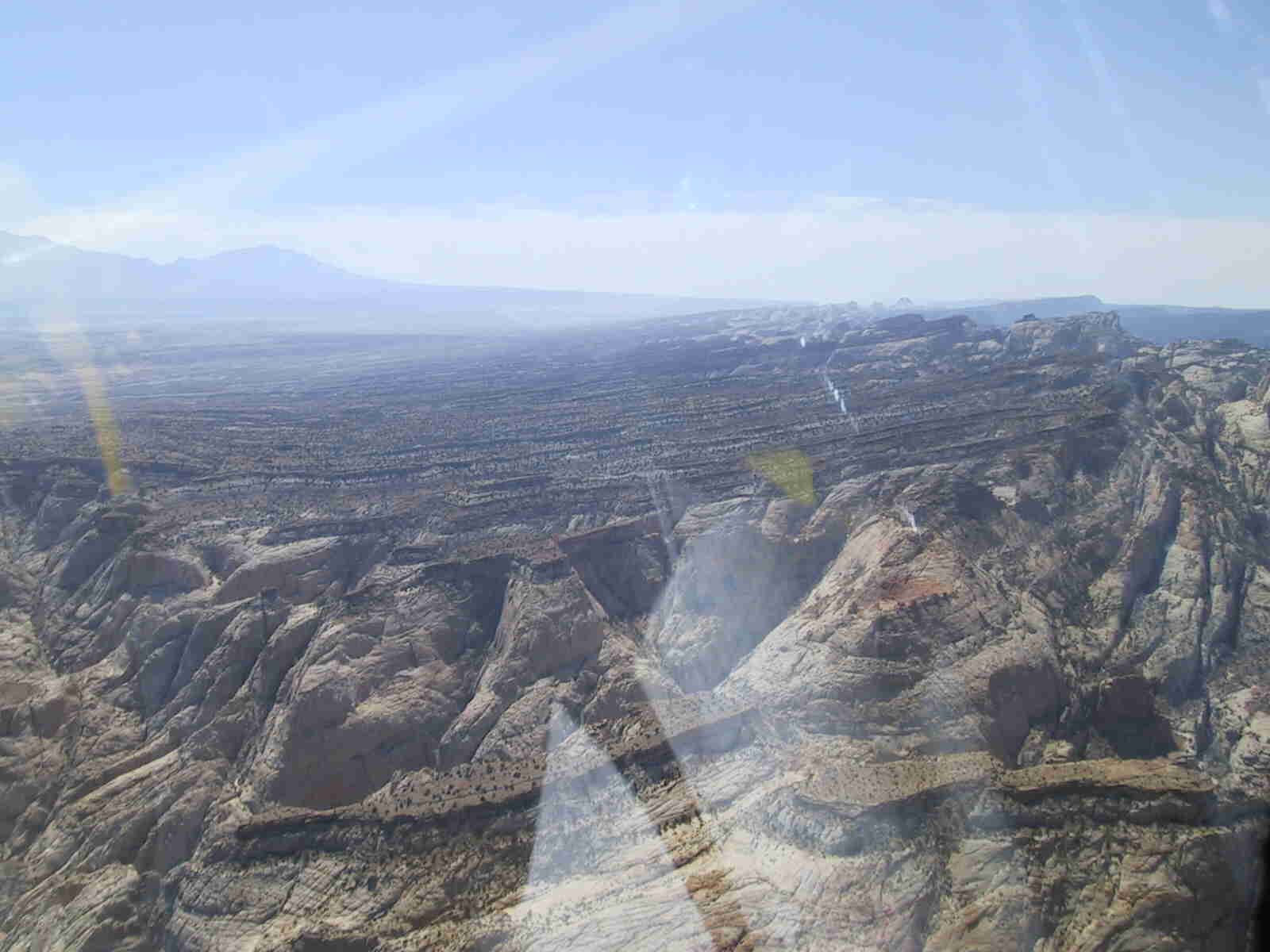
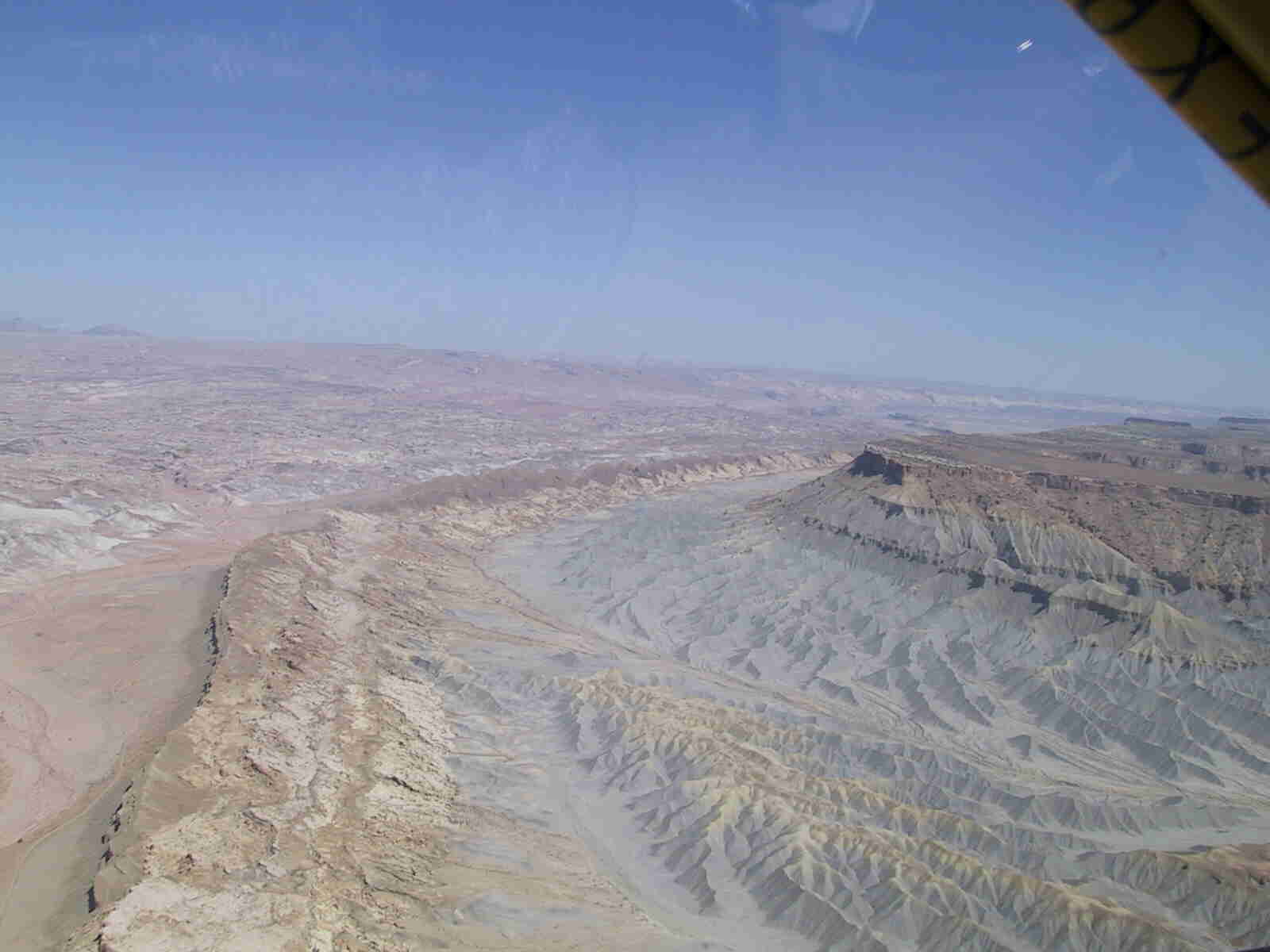
Last September myself and others took a trip across the southern part of the state of Utah. The group was a sundry collection of light airplane and ul drivers. And for reasons of timing we only got part of the group together. My trip started on Sunday morning in order to get to the starting point for the group on Monday morning at Beaver Ut. With near perfect weather we took off to the north to Cove fort, Northeast to Richfield then east on an IFR ( I follow roads ) flight plan across Capitol Reef National Park. This is some of the roughest country I have flown over with very little area for a forced landing…. Having driven this road in a car then flying over the same area it was worth the trip just to see the area from the air. Upon reaching Hanksville we stopped for fuel, water and rest. then we turned North to Green river and back to the Southeast to Canyon lands airport near Moab where we stayed for the night. The next leg on Tuesday was to take us south to Monticello, Blanding, and Monument Valley near the 4 corners…. You may have noted the word WAS, Well Utah had been in a drought all summer… and as it would turn out the forecast was for rain and thundershowers. The only rain all summer and we hit it head on. The group from northern Ut. that I had joined up with had a mandatory be home by date of Thursday. Which if all had gone well would have the return date. With no rain delay days built into the schedule they took a vote and decided to head home. As we got to the airport the skies were black and threating to the south and to the north it was partly cloudy. The first part of the trip north to Price was uneventful, but the closer we got the worse the ride became. I am sure I was doing 100 mph, the airspeed was showing 75 and the rest was up and down. after landing at Price I was one happy camper to have my feet on solid ground. After refueling the group wanted to head strait for home. As for me I was very happy to stay put and wait for better air as the next 50 miles of mountains between us and home were laced with 9,000 to 10,000 ft peeks. At about that time we got a pilot report of clear and smooth. A visit with the Cedar FSS told us that if we wanted to go we should go now, as the storm that had been chasing us would catch us in about 2 hours, but if we left now it should be clear on top as soon as we reached the ridge… I told them that I would go with conditions, first, if it was as rough on top as it was upon landing or second if I could not see the other side of the Mountain range then I would be happy to come back and wait the weather out. Upon reaching the top of the ridge it was as the weather briefer had said, “clear sailing” going across the top was a quick trip as the airspeed was still at 75 and the gps was showing 122…What a tail wind. The rest of the trip home was uneventful except for radio problems while trying to get through Salt Lakes class B airspace.