
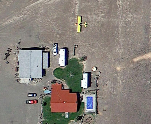
ttbomm to the best of my memory… In June 2013 I flew out to my friend Larry C. in South East Oregon, a couple months after the trip he told me to go to google maps and look at his place… the first day I was parked there the satellite flew over the area and caught my plane in Larry’s tie down area.
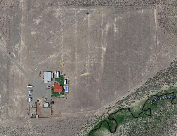
His place is off highway 95, just to the south of burns junction, right next to crooked creek.
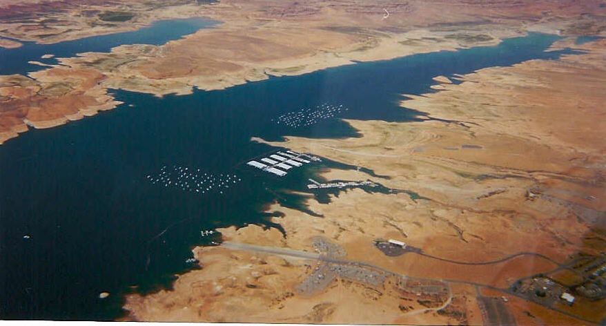
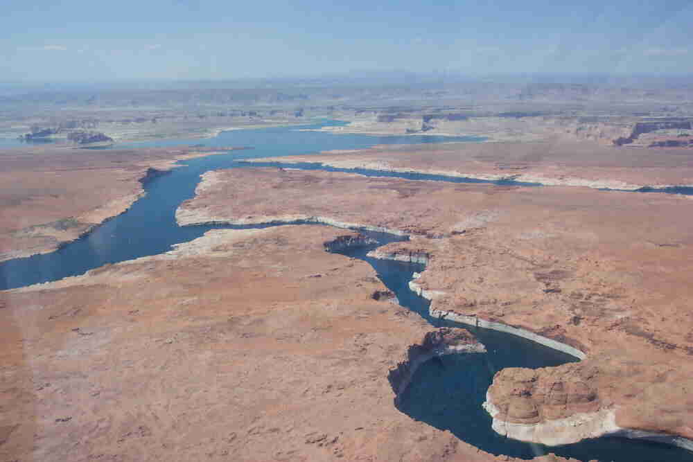
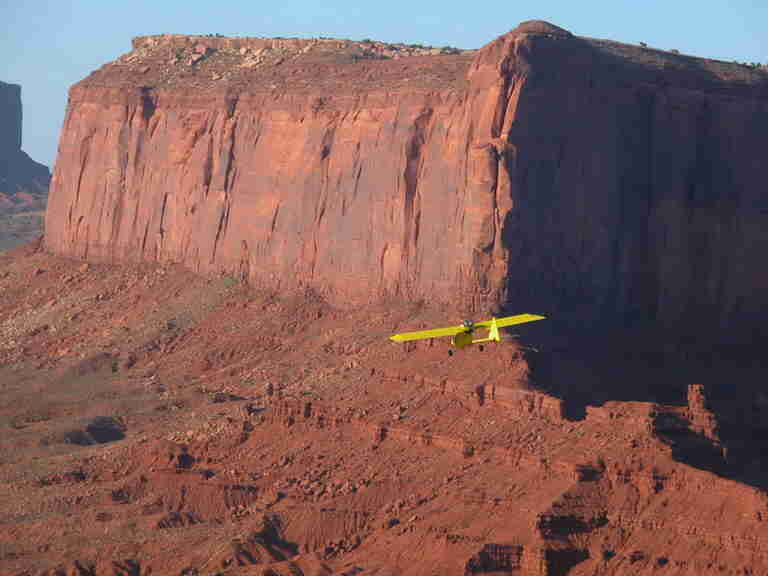
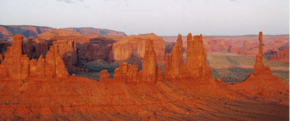
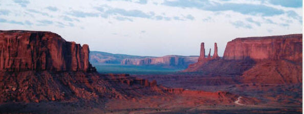
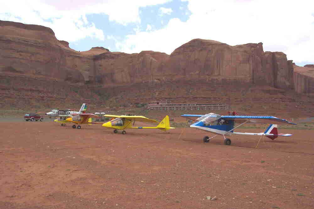
Pictures taken on a flight to southern Utah in my home built plane… one of the photos was taken from behind me by a friend.
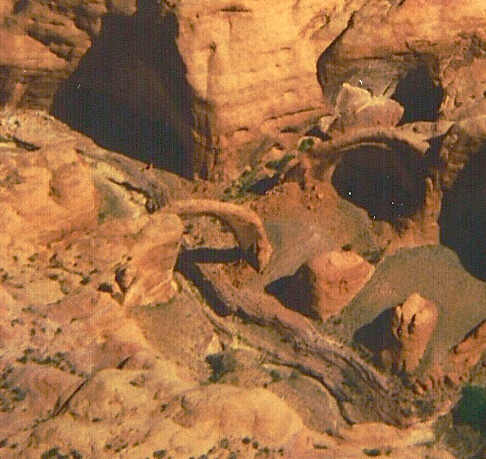
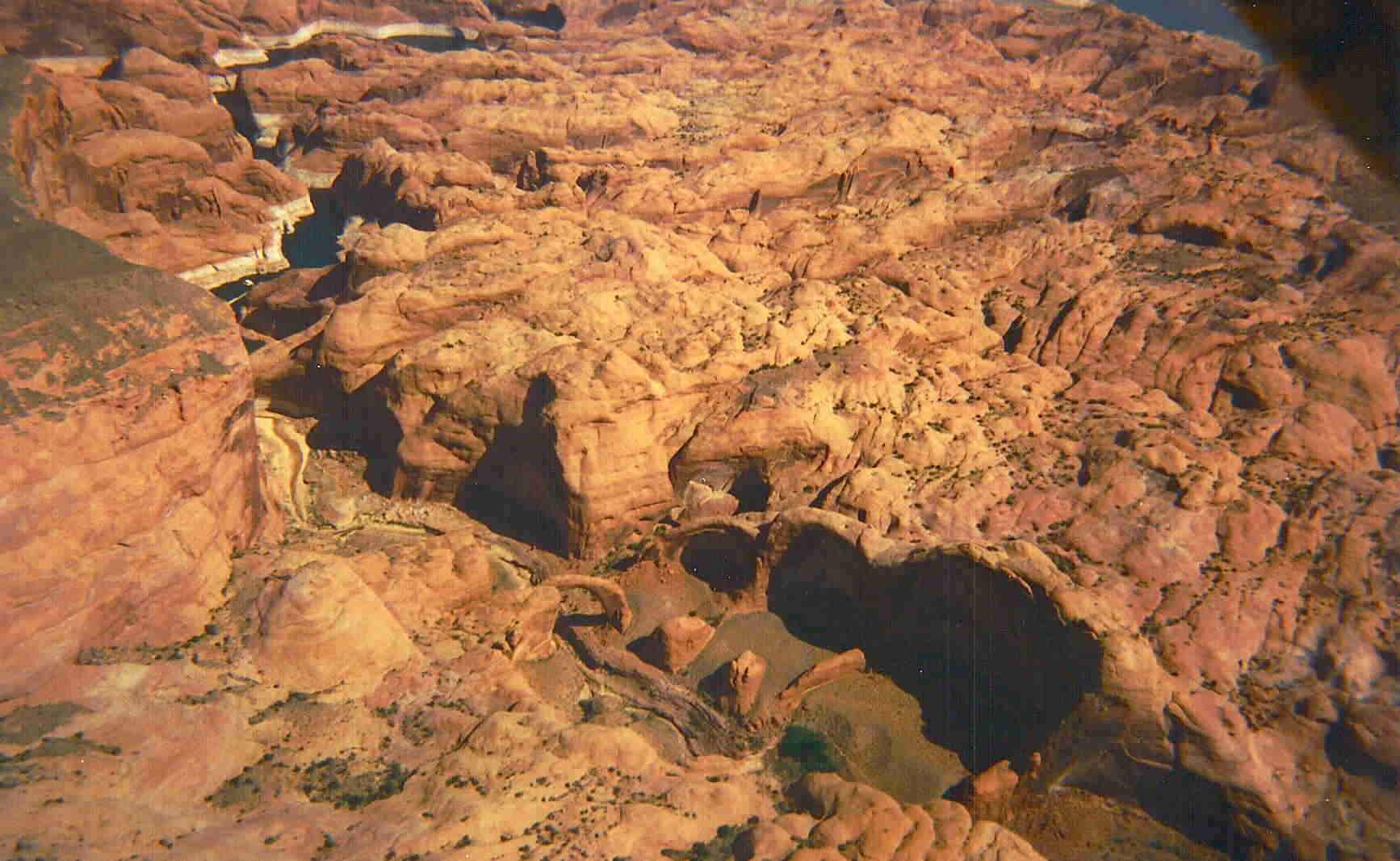
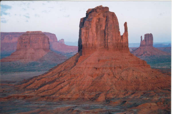
I’ve added a few more pages… Building and flying my plane. They are something I put together a few years back, they need some polishing, but they were a good starting place. My nice digital camera had decided to quit… so these were taken with a small disposable then scanned into a digital format. There are pictures of Lake Powell, Rainbow Bridge, and Monument Valley.
Flying in somthing you built yourself! Wow!! Love it! Beautiful pictures!!